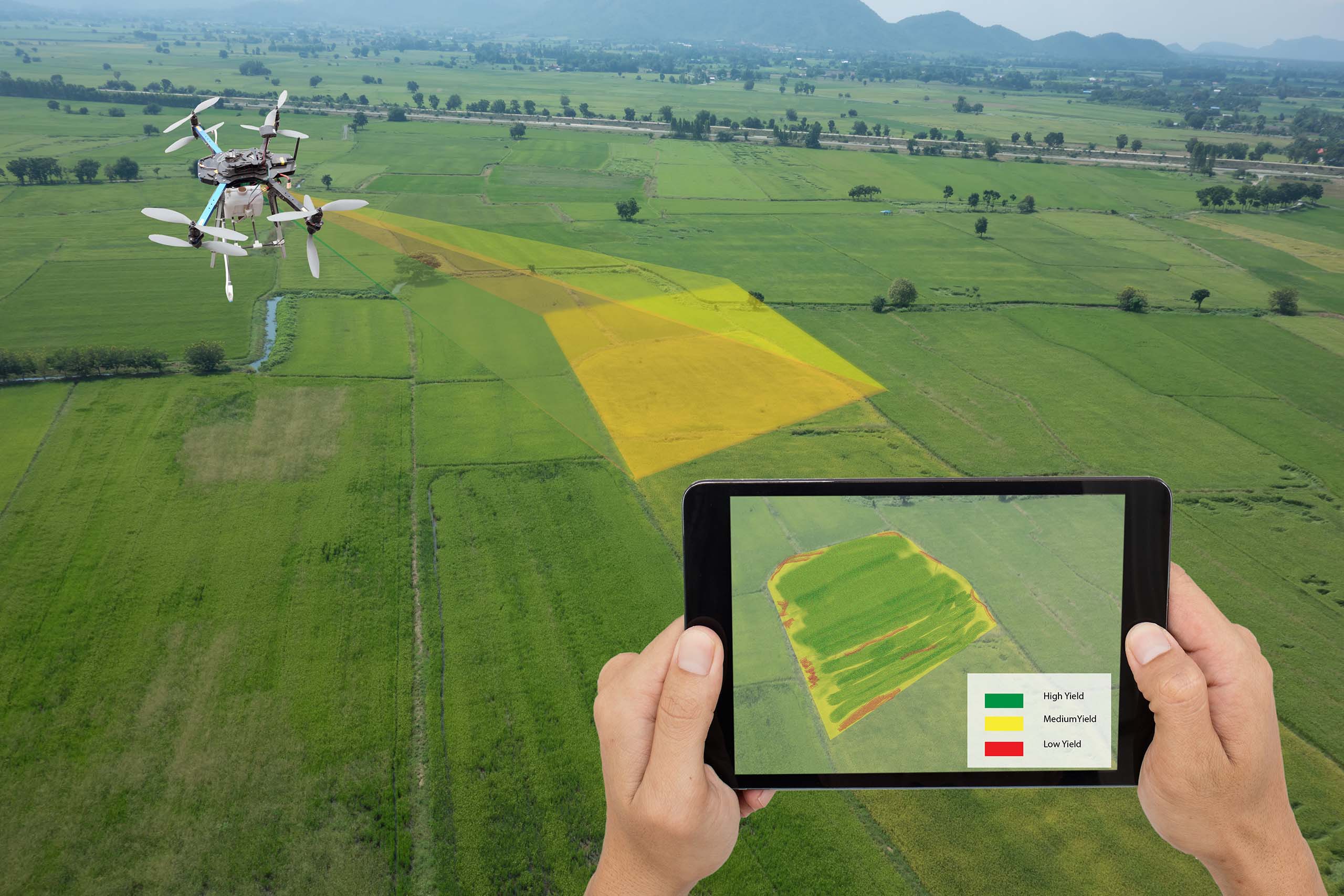
Drone surveying is an aerial survey conducted using drones and special cameras to capture aerial data with downward-facing sensors. It is frequently used by surveyors and engineers in construction for terrain assessments and mapping.
Account details will be confirmed via email.