


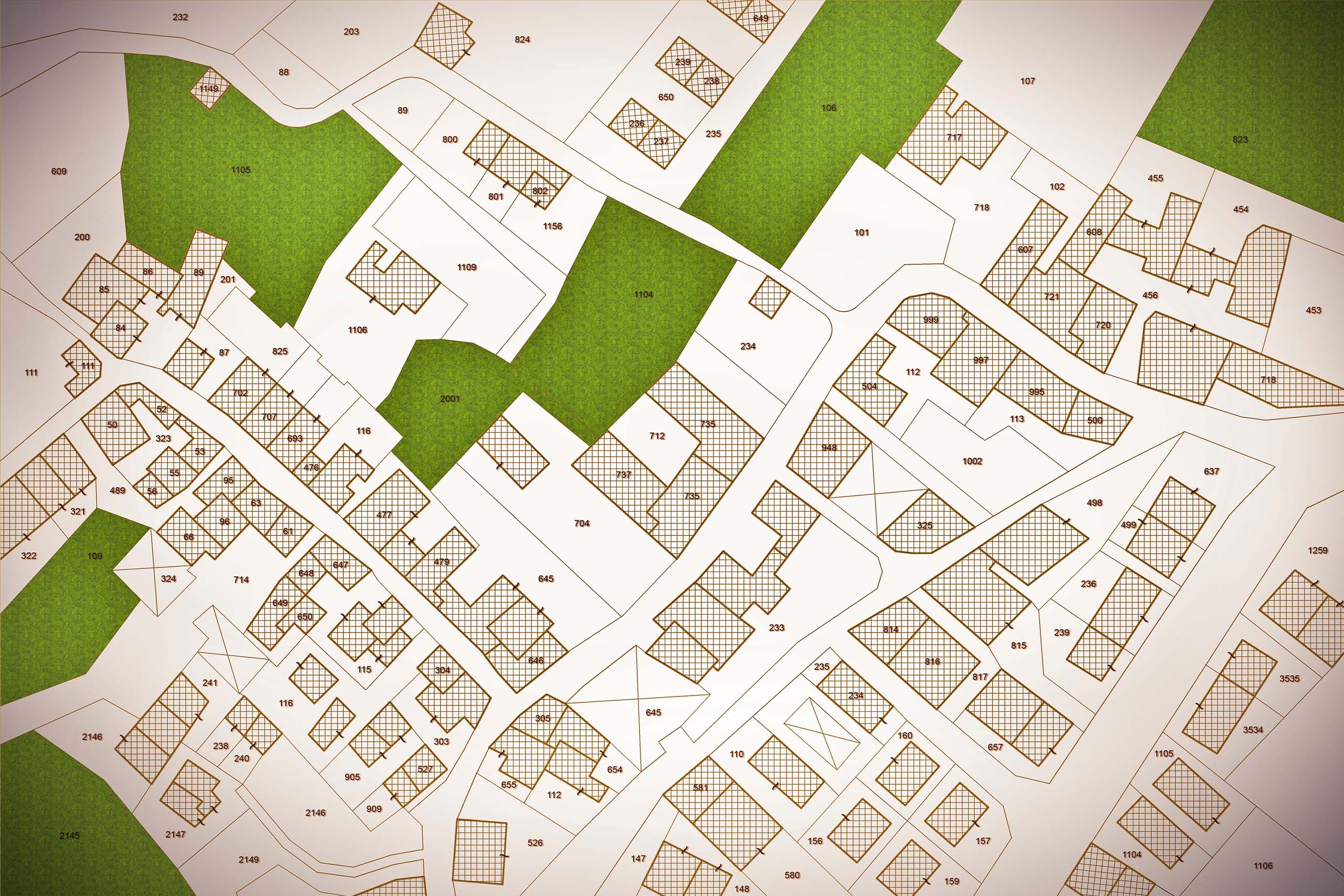
Cadastral Survey
Cadastral survey is generally performed to subdivide the land into parcels for ownership under a land title and to re-establish boundaries of previously surveyed properties to determine the physical extent of ownership or to facilitate the transfer of the property title.

Topographic Survey
We help in having a detailed and accurate picture of your land which can reduce the risk of costly downstream mistakes caused by unforeseen issues. we provide final as-built data to verify that the site was built in substantial conformance with proposed plans.
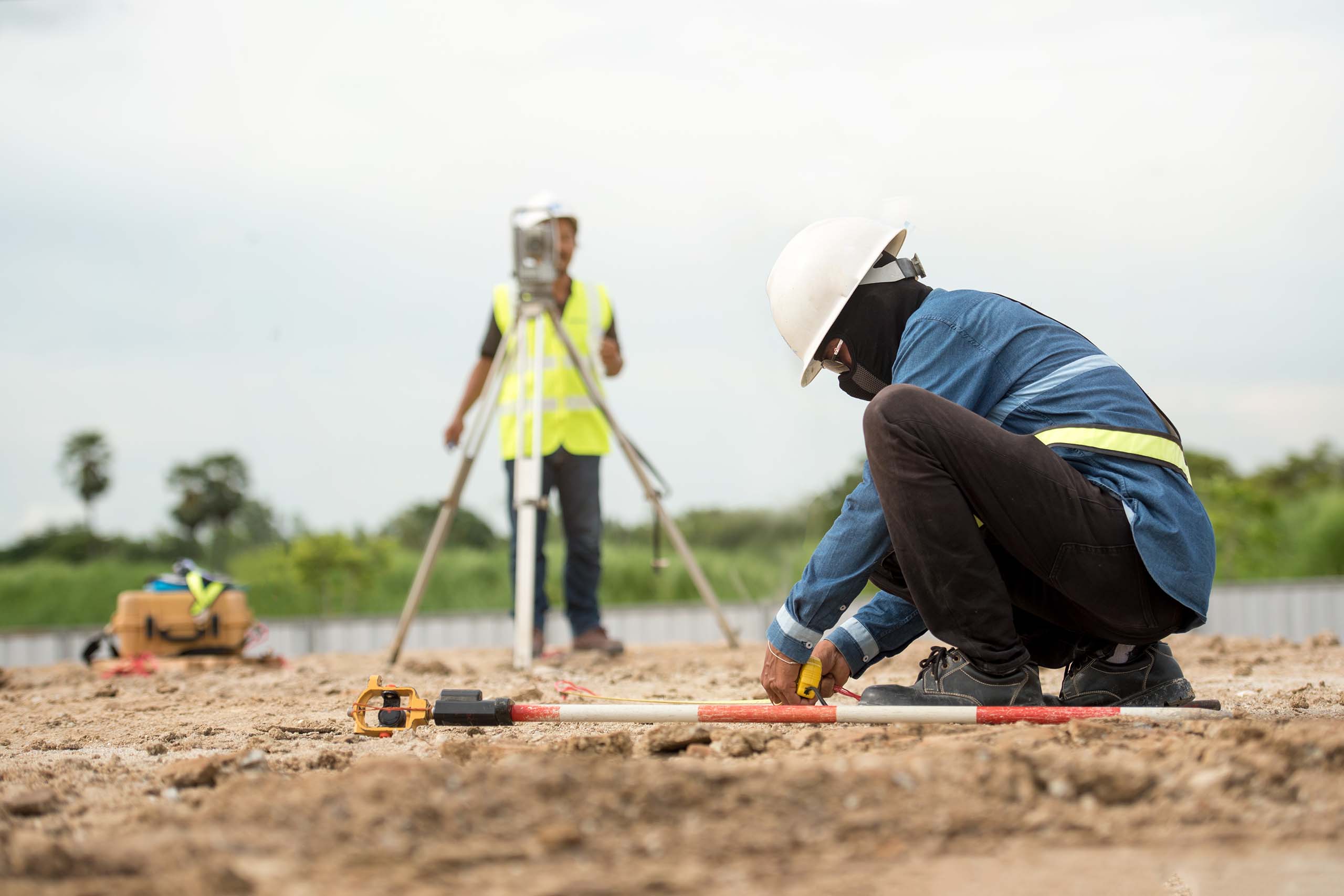
Layout Marking & Demarcation
As per the topographical land survey, layout marking and demarcation is done inclusive of roads, plots, commercial spaces and extra spaces for public use etc. We ensure allotment of these spaces is as per the government norms. Based on the approvals from concerned authorities and clients, layout design is marked on the respective site as instructed by the expert.
Sub Division Survey
Subdivision Survey/SubDivision platting is the process of splitting a tract of land into smaller parcels. This shows monumentation and survey data on a map in conformity with the local subdivision
Boundary Survey
A boundary survey is a formal means of defining the boundaries of a property. It is primarily concerned with determining the corners of a parcel of land. Before buying, dividing, improving, or building on land, most people hire a boundary surveyor. A land surveyor will prepare a drawing after completing a boundary survey.
A lot’s dimensions are determined by the deed, subdivision plats, and survey drawings. They depict the property’s exact lines.
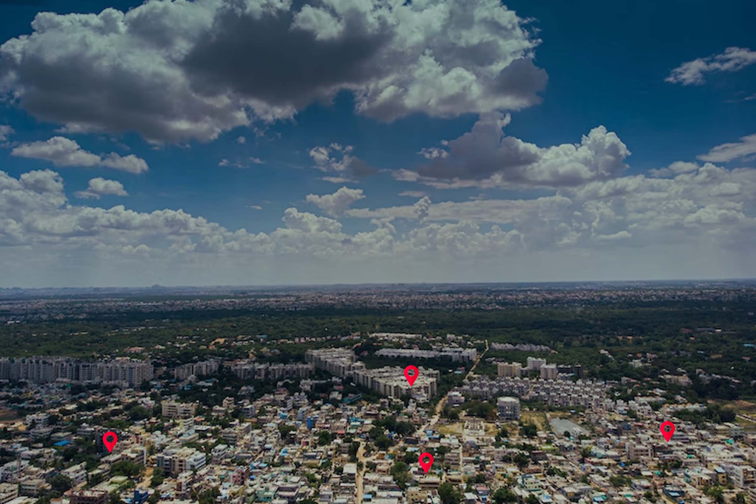
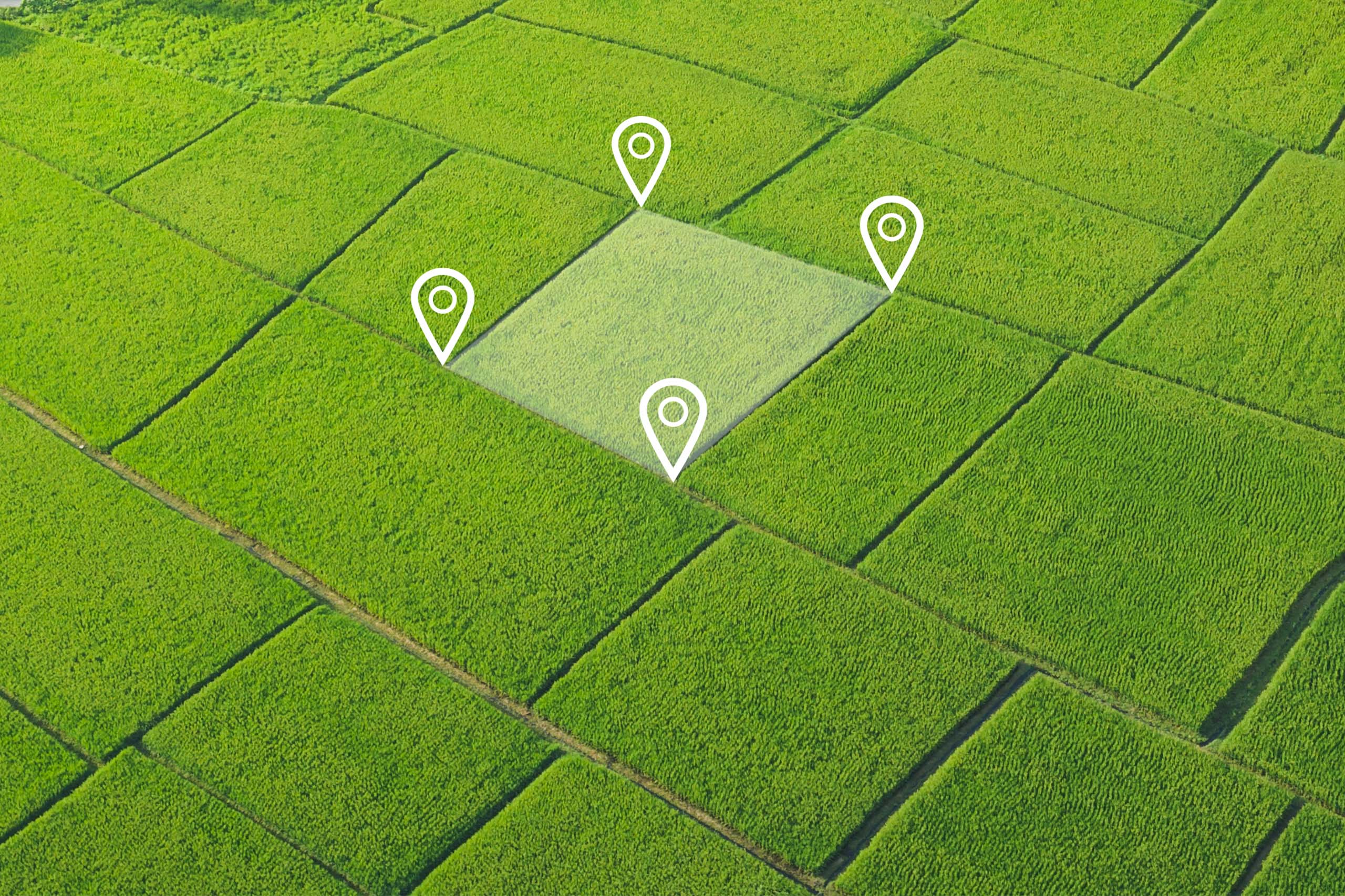
Geo-Tagging / Geo-Fencing
A cost-effective geolocation service that uses high-quality data from global.
Geotagging: The method consists of targeting a user based on their location. This includes country, state, city, zip code and IP address.
Geofencing: Consists of drawing a “fence” around a location. Once the user either enters or exits the “fence”, they can receive an alert on their phone.
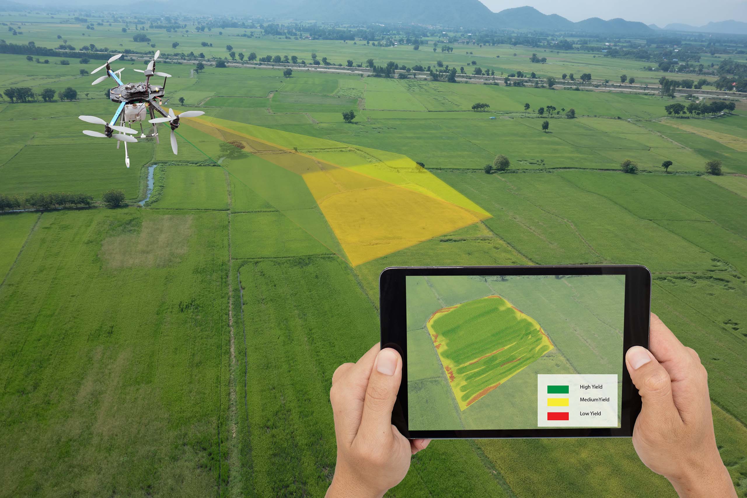
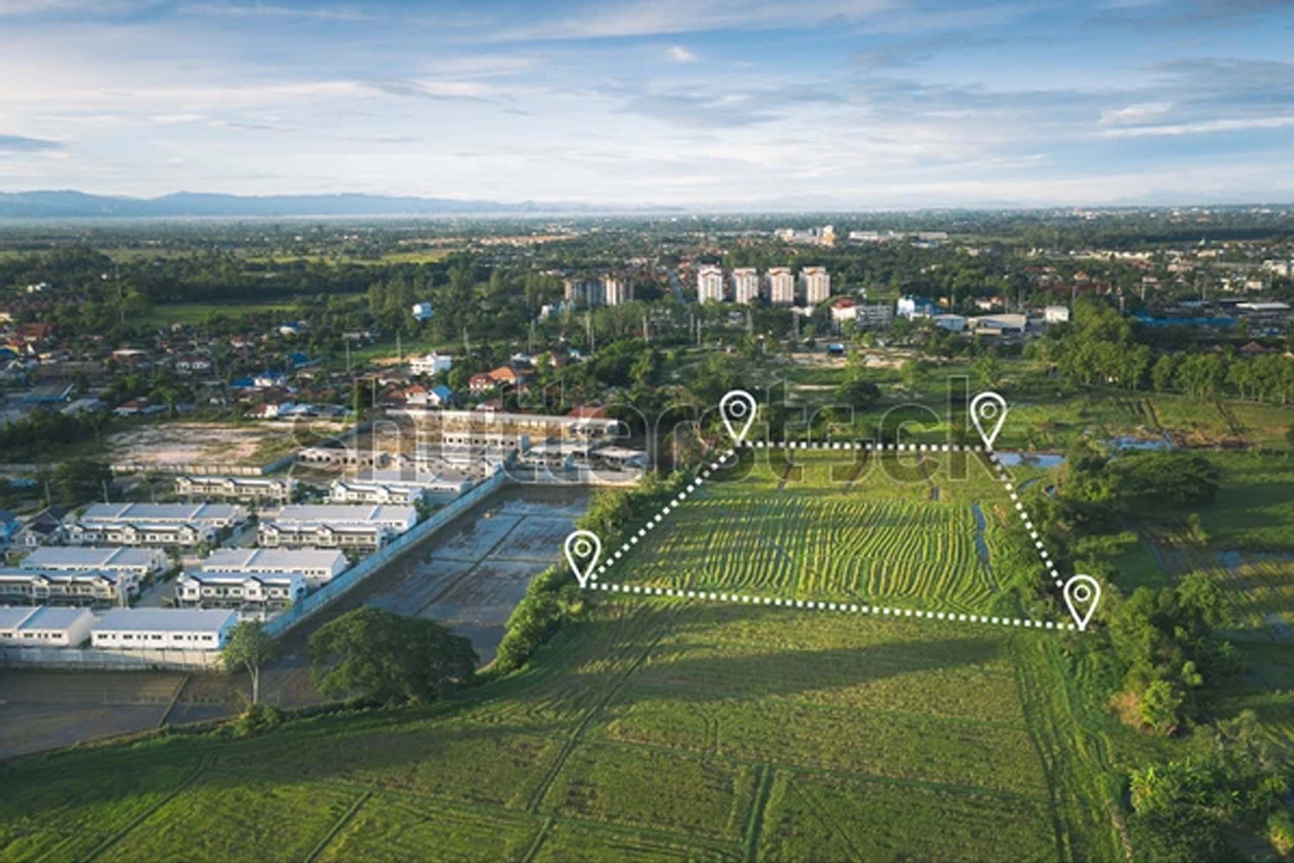
DRONE SURVEY
Drone surveying is an aerial survey conducted using drones and special cameras to capture aerial data with downward-facing sensors. It is frequently used by surveyors and engineers in construction for terrain assessments and mapping.
Open Plot Availability system
We design and implement your site, indicating the placement of plots or building blocks, roads, open areas, entryways and exits, parking, landscaping, etc. We adhere to the guidelines provided by the GHMC, HMDA, DTCP, and other municipal agencies. We will do everything in our power to find you the greatest property on the market that satisfies your requirements. The process will be cost free of arranging for you to visit the outlay and allocating the land